Toggle accessibility

Cycling

Try it all

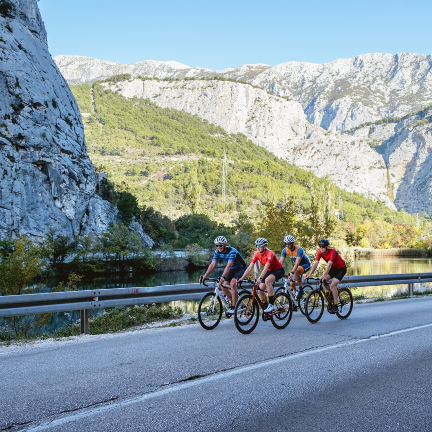
A bicycle is perhaps the best “tool” to experience everything that Omiš and its hinterland have to offer. In just one day you can explore the canyon of the Cetina River, cycle through the proud historical region of Poljica and return to Omiš for a swim. For adrenaline lovers, we especially recommend the mountain bike trails for which Omiš’s surroundings have been becoming more and more popular with adventurers. This is one of the advantages of a city built in a place, where mountains and the sea meet so closely.

Omiš Evergreen

Omiš Evergreen

Omiš - Zakučac - Gata - Zvečanje - Podgrađe - Kučiće - Omiš

With a length of 42 km and an altitude difference of 613 m above sea level, this trail takes you through the fascinating canyon of the Cetina River with a number of incredible views. It starts with a 4.7 km climb to Gata with an average gradient of 5.4% on a wide road with a number of hairpin bends. The entire trail is ridden on asphalted roads that are busy at the beginning, but after Gata the traffic decreases significantly. The trail is suitable for all types of cycling. The descent towards the Pavića most bridge has no particularly dangerous sections, but you should be careful on the hairpin bends. The second and last climb that begins along the Cetina River, is 3.8 km long with an average gradient of 4.3% offering a number of breath-taking views. The descent should be ridden carefully because of the very large number of hairpin bends. The rest of the trail is ridden on a straight road by the river until the starting point in Omiš. This trail can be ridden on a road, trekking or gravel bike, without the need for a compact crankset as there are no steep sections.

Read more
On the Foot of Omiš Dinara

On the Foot of Omiš Dinara

Vrisovci - Lokva Rogoznica - Vrisovci

A trail of medium physical and technical difficulty with a difference in altitude of over 450 metres and a length of only 13.5 kilometres. The first climb is also the steepest on the trail and takes you up to the first macadam road with an average slope of 12.5% over a length of 800 metres on a concrete surface. After the first short climb, about 3 km of relatively flat terrain awaits you with a macadam surface and a short single track with a section of asphalted road followed by the biggest challenge on the trail - a 3.2 km long climb with an average gradient of 7.3% mostly on an asphalt surface. The descent from Lokva Rogoznica is 2 km long along a single stony track of medium to high technical difficulty, which requires an MTB. The single track later joins a wide, fine macadam track and a combination of macadam and road leads back to the starting point. We would definitely recommend an MTB because the surface on the single track is too rough for other types of bikes.

Read more
The river of Sighs

The river of Sighs

Cetina - Svinišće - Cetina

There is a short trail with one gentle, 5.37 km long road climb with an average slope of 5.1% and a 2.5 km long descent with an average slope of -10.6%. The initial part of the descent is ridden on macadam until you turn onto a single track that has trail/enduro characteristics with a number of technical elements such as sharp turns, small drops, a demanding stony terrain and small jumps. The descent takes you back to the beginning of the trail.

Read more
Omiš serenade

Omiš serenade

Omiš - Šestanovac - Cista Provo - Ugljane - Blato na Cetini - Gata - Omiš

With a length of 93.3 km and a difference in altitude of 1178 m and no steep climbs, this trail is suitable for intermediate cyclists who cycle regularly. After a gentle warm-up through the canyon of the Cetina River, a 4.8 km long climb, which is also the longest without flat sections, begins with an average gradient of 4.5% together with 12 hairpin bends. The next climb is divided into three segments, each of which is about 2.5 km long with flats that are ideal for resting in between them. The total length of the climb to Šestanovac is 11.8 km, but due to several flat sections, the average gradient is only 3.1% with a change in altitude of 391 m. After Cista Provo, there is a ride on a straight wide road until the descent towards Nečaj with a number of hairpin bends crossing the bridge over the Cetina River. The road with several short climbs and descents leads all the way to Gata, where the dynamic descent begins along a number of hairpin bends with a breath-taking view of Omiš, where the road is very wide and in excellent condition. This trail can be ridden with all gear ratios because there are no steep climbs. The descents have gentle gradients without extremely dangerous sections.

Read more
Cetina blues-rock

Cetina blues-rock

Omiš - Gata - Kostanje - Blato na Cetini - Šestanovac - Zadvarje - Omiš

The 68.3 km long trail with 983 m of accumulated elevation begins with the climb to Gata, which is not too demanding due to a number of hairpin bends and the average gradient is a gentle 4.1%. The subsequent challenge is represented by a number of short climbs of up to 1 km without steep gradients until the considerable 5.5 km long climb to Dubci, but with several flats where it is possible to rest and an average gradient of 4.1%. This trail is characterized by dynamic descents on hairpin bends with gentle gradients that will appeal both to experienced cyclists, and those less experienced will ride through them without excessive difficulties. The most dynamic is undoubtedly the descent near Zadvarje, which has four hairpin bends and leads you to the gorgeous Pavić bridge over the Cetina River. After Zadvarje, the rest of the trail gently descends by the sea, where impressive views open up, and the return to Omiš is physically undemanding. It is ridden on wide two-lane roads with medium traffic density and narrower local roads also with two lanes, but with low traffic. This trail can be ridden with all combinations of gear ratios, as there are no demanding and steep sections, but several gentle and long climbs.

Read more